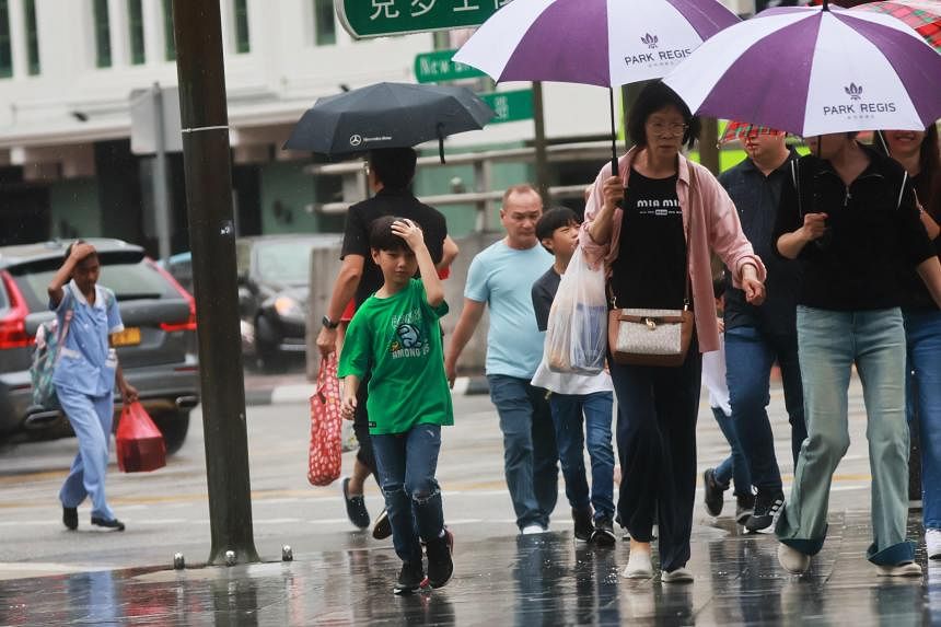

SINGAPORE – Wet and warm weather conditions are expected to persist in the second half of April, with above average rainfall over most parts of the island forecast.
More thundery showers are expected over parts of the island on most afternoons in the next two weeks, the National Environment Agency said on April 16.
This is because the monsoon rain band is forecast to lie close to the equatorial region, bringing widespread and heavy rainfall on some days.
But the weather will likely still be warm, with daily temperatures on most days expected to range between 25 deg C and 34 deg C. Some afternoons may even reach a high of 35 deg C.
The first half of April was warm despite thundery showers in parts of Singapore on most afternoons, as inter-monsoon conditions saw temperatures on nine days climbing to 35 deg C or higher.
On April 6, the mercury hit 36.2 deg C in Jurong, the highest recorded temperature in the past two weeks.
Rainy weather and cloudy skies provided the island some relief on April 12, when the highest daily temperature was brought down to 29.2 deg C – the coolest day in the first half of April.
On April 13, strong solar heating coupled with localised convergence of sea breeze brought moderate to heavy thundery showers over the southern and western parts of Singapore in the late afternoon.
The daily total rainfall of 107.6mm recorded on Jurong Island that day was the highest rainfall recorded for the first half of the month.
Half the island recorded above average rainfall during the two weeks, with most of the rain falling in the eastern and western parts of Singapore.
Rainfall in Ang Mo Kio was 61 per cent above average, but 41 per cent below average in Clementi.